
Aqualized Dive Adventures
Google 5/5 (267 reviews)
9.9 km away as the crow flies
Anavissos · Greece · Mediterranean
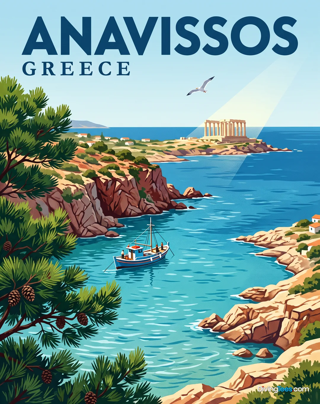
Max. depth · 42 mExplore the fragmented remains of a historic vessel scattered across a deep seabed near Patroklos islet.
For subtitles in English: start the video firstthen click the gearat the top right of the video, select “Subtitles/CC”, then “Auto-translate” and choose “English”.
Approaching the SS Oria requires a boat trip from the Sounion coast, heading out toward the Patroklos islet. You will find that this site does not offer the silhouette of a traditional, standing shipwreck. Instead, the seabed is covered by a wide field of debris that marks the location where the vessel broke apart. The wreckage is spread across a significant area, requiring a methodical approach to navigate the scattered remains effectively. You will be looking for structural elements rather than a single, large object to follow.
The topography consists primarily of metallic remains that have settled on the sandy bottom and surrounding substrate. As you descend, you will encounter curved metal beams, various drums, and other pieces of cargo that were lost during the sinking. These fragments are spread out, creating a landscape of industrial wreckage that feels more like an underwater graveyard than a standard wreck dive. The distribution of these pieces changes the way you move through the site, as there is no continuous hull to guide your buoyancy or direction.
Depth management is the primary technical concern during a dive here, as the site ranges from 28 to 42 metres. Most of the recognizable debris is concentrated at a shallower depth of approximately 35 metres, but the field extends into deeper zones. You will need to monitor your consumption and nitrogen loading closely, especially if you plan to explore the furthest edges of the debris field. The descent should be controlled and steady to ensure you maintain full situational awareness of the surrounding wreckage.
Because the ship was largely salvaged for scrap in the 1960s, the site serves as a historical and memorial location rather than an archaeological treasure trove. You are diving among the remnants of a vessel that sank in February 1944, a site of profound historical weight. The lack of a complete superstructure means you will spend your time inspecting individual components and observing how the sea has integrated these metallic fragments into the seabed. It is a dive that demands respect for the history of the site and the conditions of the waters.
The lighting conditions at these depths can be quite dim, which influences how you perceive the textures of the metal and the surrounding seafloor. Even on clear days, the depth of 35 to 42 metres means you will rely heavily on your dive light to see the details of the beams and cargo. This low-light environment changes the way you interact with the site, making it necessary to move slowly to avoid disturbing sediment. Maintaining good buoyancy is essential to prevent silt from obscuring the very fragments you are there to observe.
Navigation in a debris field requires a different skillset than navigating a single wreck structure. Without a central hull to use as a reference point, you must rely on your compass and frequent checks of your depth gauge to stay within the target area. It is easy to lose your sense of direction when surrounded by similar-looking metallic shapes and shadows. Planning your ascent and ensuring you can find your way back to the surface marker is critical given the depth and the scattered nature of the wreckage.
The site is best visited during the summer months, from June to September, when the sea conditions are most predictable. While the depth remains a constant factor, the surface weather and local currents can influence the ease of the dive. Accessing the site via boat from Anavissos ensures you reach the debris field directly, but you should be prepared for the open water conditions typical of the area near Cap Sounion. A well-planned profile is the only way to safely experience this deep, fragmented site.
Depth ranges from 28 to 42 metres. An Advanced certification is the minimum requirement due to the depth and the nature of the debris field; a technical profile is recommended for those wishing to explore the deepest sections. The best period for diving is between June and September.
You should plan a dive at Oria between June and September, the period identified for the site. Access is by boat from the Sounion coast toward Patroklos islet, with the debris field reached directly from Anavissos. You should also be prepared for open-water conditions near Cap Sounion, where surface weather can affect the dive.
Oria requires Advanced certification because the debris field lies between 28 and 42 metres. Most recognizable debris is around 35 metres, while the field continues into deeper areas. A technical profile is recommended if you intend to explore the deepest sections, so you should plan carefully for consumption and nitrogen loading.
At Oria, local currents can influence how easily you complete the dive, although no specific current strength is given. The site is reached in open water near Cap Sounion, and surface weather can affect the experience. You should use a controlled descent, maintain buoyancy, and navigate carefully across the scattered debris field.
You will not follow a standing shipwreck at Oria. Instead, you will inspect a wide debris field containing curved metal beams, drums, cargo, and other scattered structural remains on the sandy seabed. The site reflects the vessel’s historical and memorial significance, with dim light and metallic fragments spread across the bottom.