
The Blue Jump Ecodiving
Google 5/5 (708 reviews)
4.4 km away as the crow flies
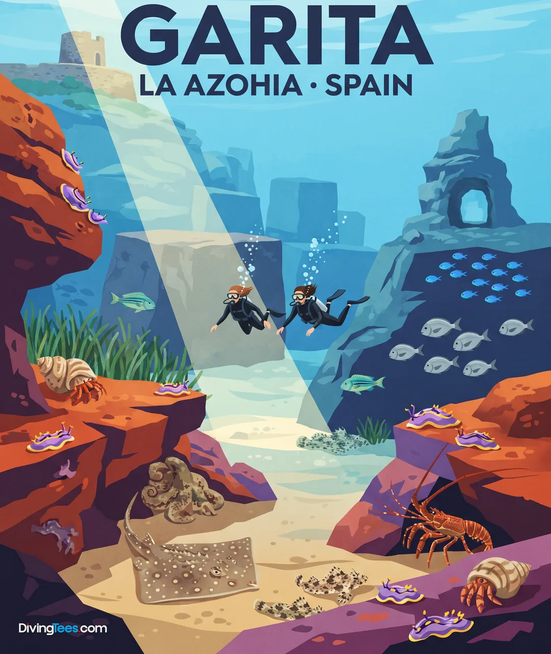
La Azohia · Spain · Mediterranean
Max. depth · 30 mA varied descent through rocky terraces and vertical drops that reveal a complex Mediterranean topography.
For subtitles in English: start the video firstthen click the gearat the top right of the video, select “Subtitles/CC”, then “Auto-translate” and choose “English”.
The Muellecico site, located within the Cabo Tiñoso marine reserve near Mazarrón, is characterized by a highly varied underwater landscape. The name itself refers to a specific rocky protrusion that resembles a small pier or quay, providing a clear landmark for your approach. As you descend, you will encounter a topography that alternates between gentle gravel slopes and abrupt, vertical sections of rock. This structural diversity creates a site that is never static, offering different visual perspectives depending on your depth and position.
Starting your descent at approximately 7 metres, you will initially navigate a series of rocky plateaus and terraces. These shallower sections provide a transition zone before the terrain begins to drop more significantly. The seabed here is not a uniform slope; instead, it consists of a series of steps and ledges that break up the descent. This layering provides numerous small overhangs and crevices that are essential for the local marine life to find shelter from the open water.
As you move deeper, the profile shifts from these structured terraces into more dramatic vertical walls and areas of fallen rock. These vertical drops are interspersed with patches of sandy bottom, creating a high-contrast environment where light plays differently across the various surfaces. Between 14 and 18 metres, you will notice the presence of Posidonia oceanica meadows scattered throughout the site. These seagrass beds add a layer of biological complexity to the rocky terrain, acting as vital habitats in the transition zones.
The biological interest of the site is closely tied to its rugged orography. The abundance of rock outcrops and vertical faces provides ideal territory for larger resident species. You can expect to find moray eels and conger eels occupying the deeper crevices and holes within the rock walls. These predators are often well-camouflaged within the shadows of the ledges, requiring a slow, observant approach to spot them among the various rock formations and debris.
The presence of larger groupers is another consistent feature of the deeper sections of the wall. These fish often hover near the harder structures, utilizing the protection of the rocky overhangs. For those keeping a close eye on the seabed and the edges of the terraces, forkbeard are also known to inhabit the area. The combination of sandy patches and rocky transitions creates a diverse feeding ground that supports a stable community of resident Mediterranean fauna.
Navigating Muellecico requires attention to the changing depth and the specific layout of the terraces. The mix of gravel, loose rock, and vertical walls means your buoyancy control will directly affect how much of the terrain you can explore without disturbing the delicate Posidonia beds. Because the site transitions from shallow, sunlit platforms to deeper, more shadowed verticality, your light management and orientation should account for these frequent shifts in the underwater environment.
The site features depths ranging from 7 to 30 metres. The terrain consists of rocky terraces, vertical walls, and sandy areas, which can cause varying light conditions as you descend.
Muellecico ranges from 7 to 30 metres. Your descent begins over rocky plateaus and terraces, then continues toward vertical walls, fallen rock, sandy patches, and deeper sections. Posidonia oceanica meadows occur between 14 and 18 metres, while groupers are found along the deeper vertical areas.
At Muellecico, the seabed changes between gravel slopes, rocky terraces, ledges, vertical walls, fallen rocks, and sandy areas. These contrasting surfaces create changing light conditions as you descend. Overhangs, crevices, and rock falls break up the route, so the underwater scenery varies with your depth and position.
At Muellecico, you can look for resident moray eels and conger eels in deeper crevices and holes among the rock walls. Groupers occur along the deeper vertical sections, while forkbeard inhabit the seabed and rocky transitions. Posidonia oceanica meadows also provide habitat between 14 and 18 metres.
Muellecico requires attention to changing depth and the layout of its terraces. You should manage your buoyancy around gravel, loose rock, and Posidonia beds, while maintaining orientation through shallow platforms and deeper walls. A slow, observant approach helps you inspect overhangs, ledges, and shadowed crevices without disturbing the seabed.