




Tagoro Dive
Google 5/5 (756 reviews)
3.9 km away as the crow flies
El Hierro · Canary Islands · Atlantic
Max. depth · 40 mNavigate a complex volcanic terrain where perpendicular lava dikes create a maze of crevices and overhangs.
For subtitles in English: start the video firstthen click the gearat the top right of the video, select “Subtitles/CC”, then “Auto-translate” and choose “English”.
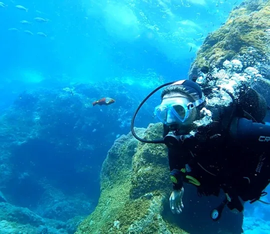
The topography of Punta Lajial is defined by a steep, volcanic rocky slope that begins near the surface at 0–10 metres and continues its descent well beyond 40 metres. Unlike the sheer vertical walls found elsewhere in the region, this site presents a more complex, textured landscape. The slope is sliced by perpendicular lava dikes and ridges that segment the terrain into a series of distinct buttresses and gullies. These geological formations create a highly fragmented environment filled with scattered boulders and large lava stones. For a diver, this means the site is less about following a single line and more about exploring a three-dimensional maze of terrain.
Navigating this site requires an understanding of how the volcanic structure influences water movement. The lava ridges and deeper gullies can catch local currents, creating pockets of movement even when the surface seems calm. While the current is generally mild, it can pick up significantly along the slope as the terrain becomes more rugged at depth. You will often find yourself maneuvering through narrow gaps created by these lava dikes, which act as natural windbreaks. Being aware of your buoyancy is essential here to avoid contact with the delicate structures and the resident fauna sheltered within them.
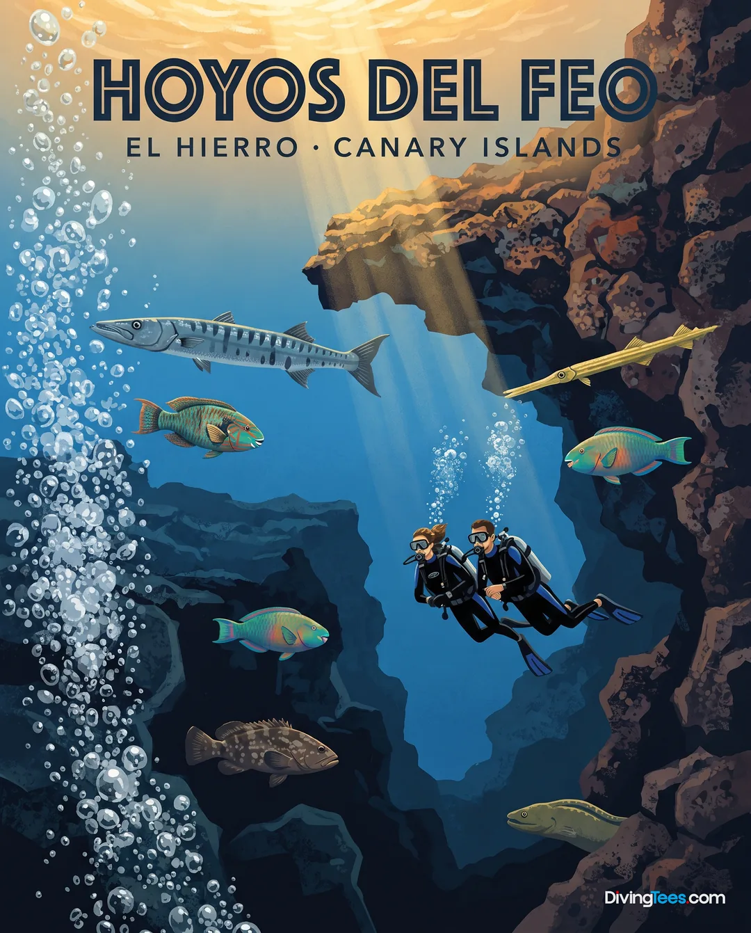
The geological complexity of the slope creates an abundance of hiding places, making it an ideal habitat for various resident species. You will frequently encounter moray eels and goldentail moray eels tucked into the crevices of the volcanic rock. Large groupers, including the dusky grouper, often hold station near the larger boulders or within the larger overhangs. These resident species are part of a healthy, complex ecosystem that relies on the shelter provided by the jagged terrain. The density of life in these holes and crevices makes the site feel much more enclosed and intimate than the open seamounts nearby.
As you descend along the continuous slope, the biodiversity shifts from shallower reef inhabitants to more specialized species. You can observe various filefish, such as the scrawled filefish, and trumpetfish hovering near the lighter sections of the reef. Larger predators like amberjack and barracuda are often seen patrolling the open water above the ridges or passing through the deeper channels. The presence of these larger species indicates a productive ecosystem supported by the nutrient-rich currents that move over the volcanic hillside. Watching these predators navigate the ridges adds a layer of dynamic movement to the dive.
The site is also notable for its presence of black coral, which finds attachment points on the stable volcanic structures. These corals thrive in the stable currents that sweep across the slope, benefiting from the nutrients brought by the water movement. Finding these colonies requires a closer look into the shadows of the overhangs and the sheltered sides of the lava dikes. The visual contrast between the dark volcanic rock and the intricate structures of the coral provides a sharp, detailed landscape. This combination of hard volcanic formations and delicate biological life defines the visual character of Punta Lajial.
Visibility at Punta Lajial is typically high, ranging between 20 and 40 metres, allowing for clear sightlines across the vast volcanic landscape. This clarity is particularly helpful when navigating the complex topography, as it allows you to identify landmarks like large ridges or specific gullies from a distance. The light levels change steadily as you follow the slope downward, with the most interesting biological details occurring as you move past the initial shallow plateau. The ability to see across the site helps in maintaining situational awareness, especially when tracking larger pelagic species passing through the area.
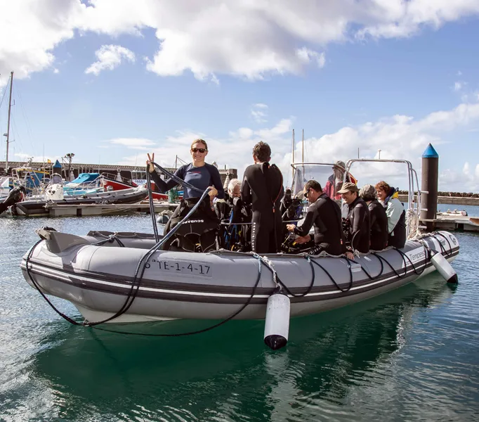
Access to the site is primarily by boat from La Restinga. Because the site is located within a marine reserve, boats typically use fixed mooring buoys to avoid damaging the seabed with anchors. This practice ensures the integrity of the volcanic slope and the sensitive coral colonies inhabiting the crevices. The site's accessibility across a wide depth range makes it a versatile location for different diving profiles. Whether you are exploring the shallower sections or the deeper parts of the slope, the geological characteristics remain consistent throughout the descent.
Seasonality plays a role in the experience, with the warmest waters and highest visitor numbers occurring between late June and October. During these months, the conditions are generally very favorable for diving. While the site is accessible year-round, the thermal comfort and visibility will vary according to the season. Regardless of the time of year, the fundamental structure of the lava dikes and the presence of resident life like the barred hogfish remain the defining characteristics of this volcanic descent.
Depth: 0–40m. Required level: Open Water with comfort in depth and blue-water descents; Advanced recommended to explore the full depth. Current: Generally mild, but can increase at depth along the lava ridges or during tidal changes. Visibility: 20–40m. Best season: June to October.
Punta Lajial is best dived from June to October, when the water is warmest and conditions are generally very favorable. The site remains accessible throughout the year, but thermal comfort and visibility vary with the season. During the preferred months, visitor numbers are also higher, so plan accordingly.
You need an Open Water certification with comfort in depth and blue-water descents to dive Punta Lajial. Advanced training is recommended if you want to explore the full depth. The slope begins near the surface, continues beyond 40 metres, and offers shallower sections as well as deeper profiles.
Currents at Punta Lajial are generally mild, but they can increase at depth, particularly along the lava ridges and during tidal changes. Deeper gullies and rugged structures may catch local movement, while narrow gaps between lava dikes can provide shelter. Maintain buoyancy awareness near delicate formations and resident fauna.
At Punta Lajial, you can explore steep volcanic slopes, lava dikes, ridges, crevices, boulders, gullies, and lava-stone shelters. Resident dusky groupers and moray eels occupy the rocky spaces, while filefish, trumpetfish, amberjack, and barracuda may appear. Look into shaded overhangs and dikes for black coral colonies.