
Buceo España
Google 5/5 (415 reviews)
1.7 km away as the crow flies
La Herradura · Spain · Mediterranean
Max. depth · 36 mLarge underwater pinnacles rise from the seabed to 10 metres, hosting deep-water corals and schooling pelagics.
Piedras Atlas consists of a complex assembly of large underwater pinnacles and massive rock formations that emerge from a seabed composed of sand and gravel. These structures create a rugged, three-dimensional landscape defined by steep walls, deep crevices, and various cave openings. As you descend, the topography shifts from these broken rocky blocks into more continuous vertical faces. The site is positioned in an area exposed to the open sea, which dictates the energy and the biological richness of the environment. This exposure ensures a constant flow of nutrients, supporting a robust ecosystem across the different depth zones.
The dive profile begins at relatively shallow depths around 10 metres, where the pinnacles first break the seabed. As you move along the structures, the depth increases steadily, reaching a maximum of approximately 36 metres at the base of the primary formations. The mid-range depths offer a transition between the sunlit upper sections and the darker, more sheltered environments of the lower walls. Navigating these pinnacles requires careful attention to your buoyancy, especially when moving between the rocky outcrops and the open water. The varying terrain provides numerous opportunities to explore different micro-habitats within a single descent.
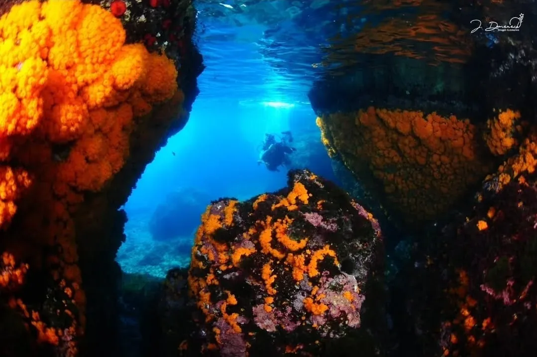
One of the most distinctive biological features occurs as you reach the deeper sections of the site. At approximately 28 metres, the rock surfaces become heavily encrusted with Astroides calycularis. These colonial organisms create a textured, living layer over the stone, marking a clear transition in the benthic community. The presence of these corals indicates a stable, nutrient-rich environment at depth. Exploring these lower reaches allows you to witness how the marine life adapts to the increased pressure and reduced light characteristic of the 30-metre zone.
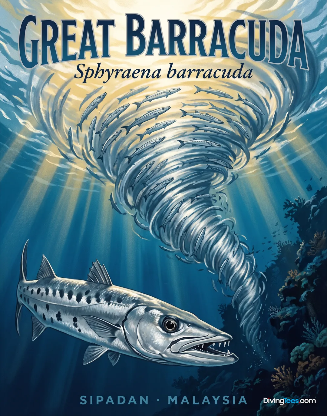
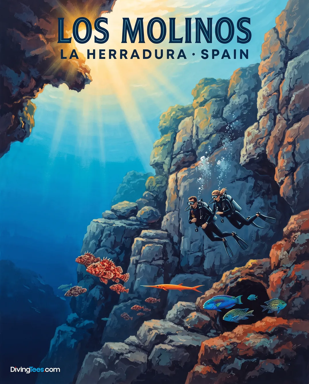
The site is a significant location for observing various large pelagic species that cruise the currents around the pinnacles. You can often find dentex, barracuda, and tuna patrolling the edges of the rock formations. Amberjack are also common, frequently appearing near the breaks in the topography where the water movement is most pronounced. These predators rely on the upwelling around the pinnacles to find food, making the site a reliable spot for seeing high-energy marine life. Watching these large fish navigate the open water above the structures is a central part of the experience here.
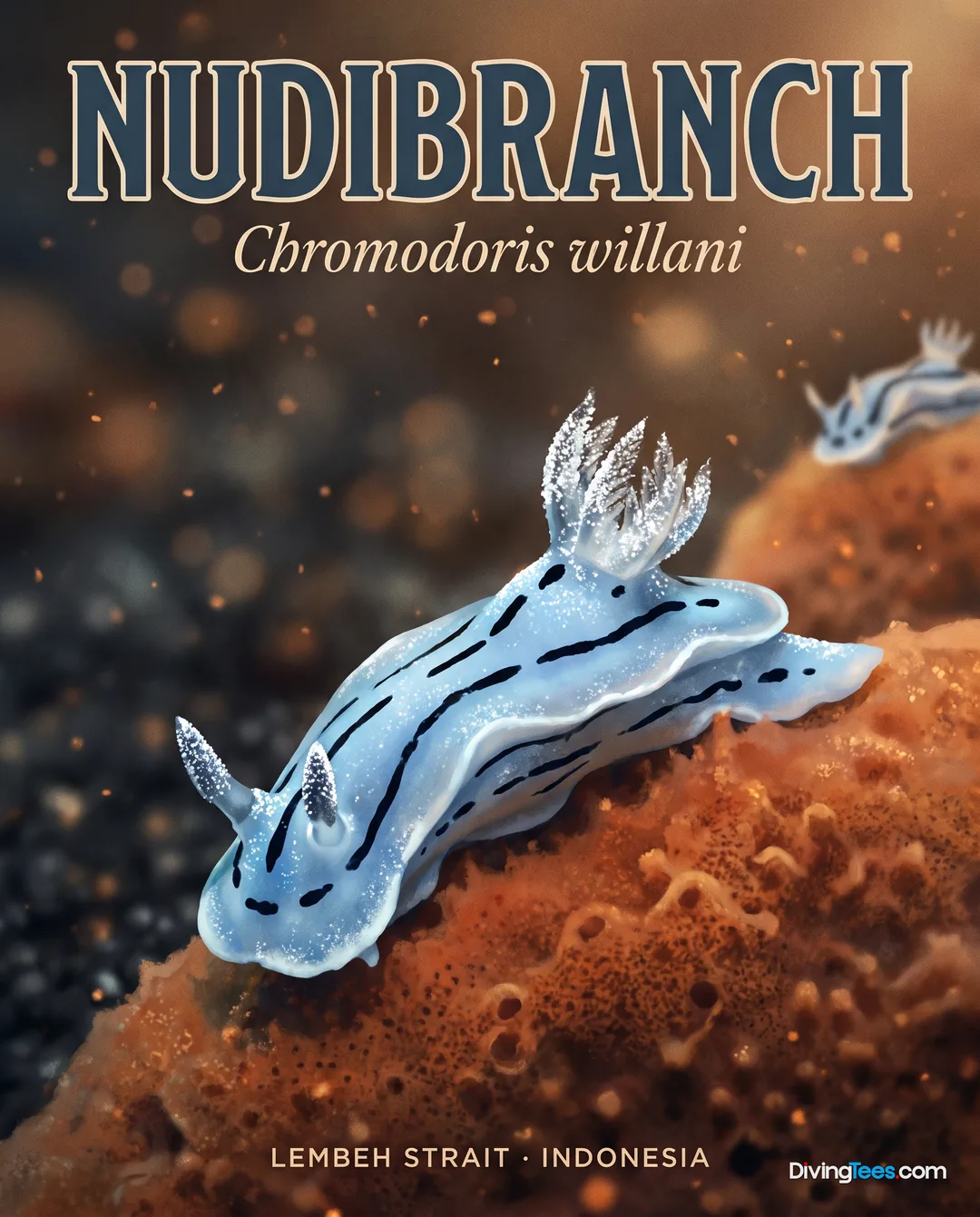
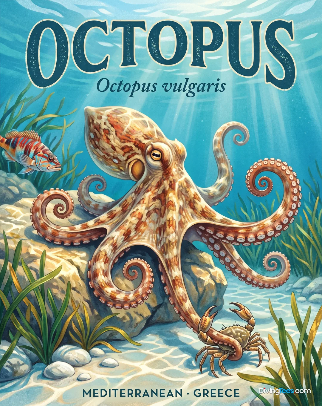
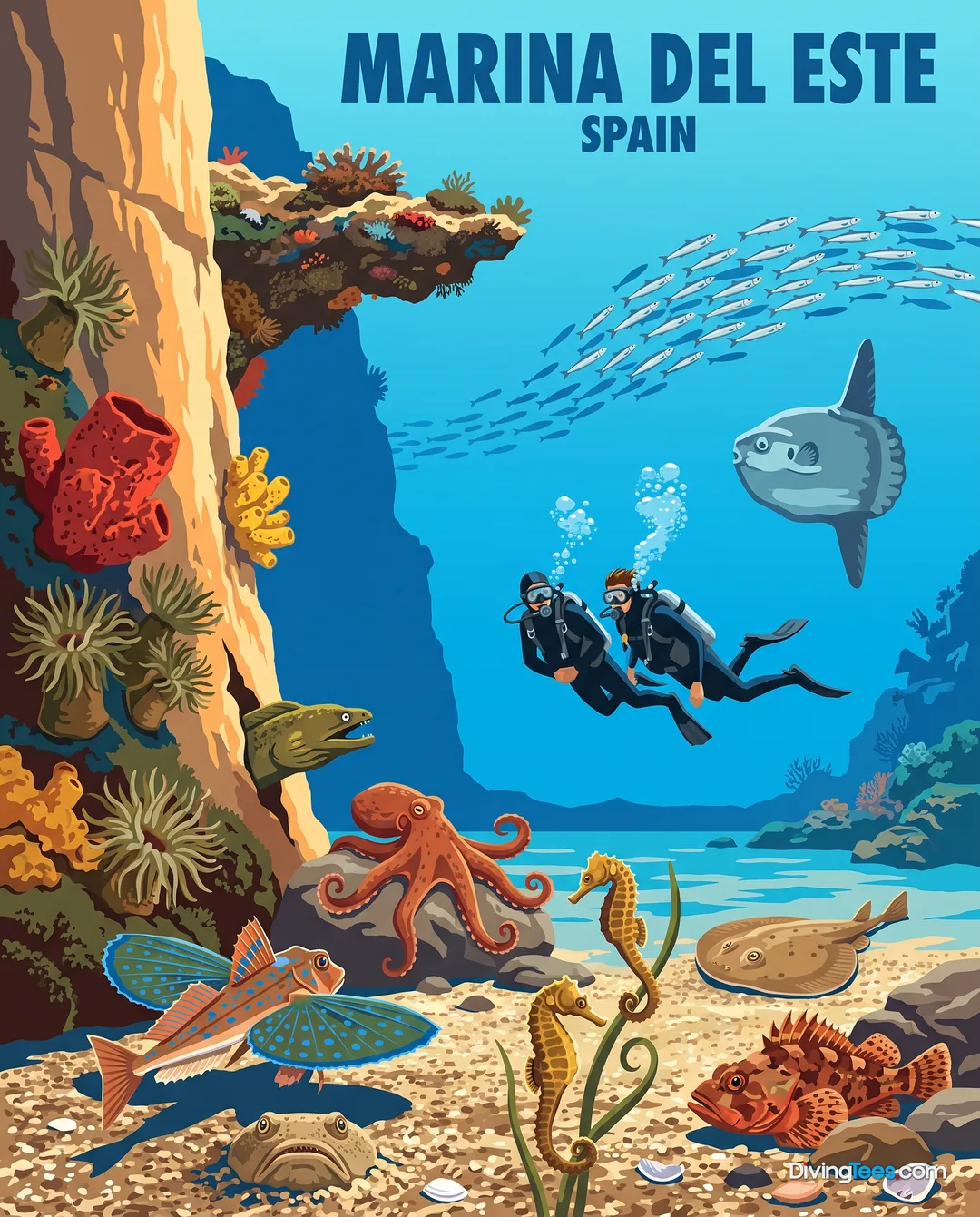
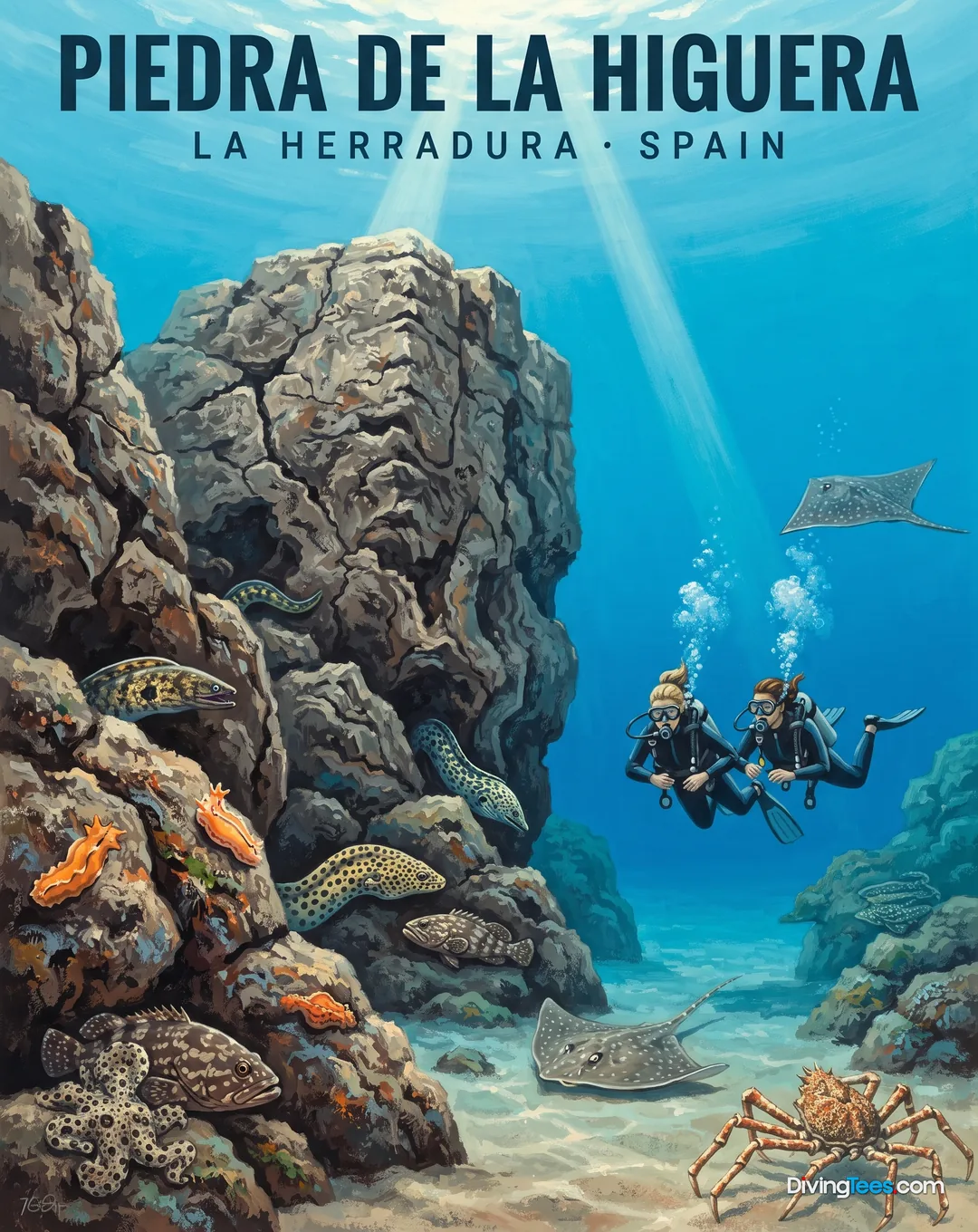
The crevices and caves within the rock formations provide essential shelter for a wide array of resident species. Moray eels and conger eels are frequently found tucked into the dark recesses of the stone, watching the passing divers. You will also encounter various groupers and sea bass that use the structural complexity for protection. Smaller organisms such as octopus and cuttlefish are often present, utilizing the camouflage provided by the rugged terrain. For those interested in macro life, the rocks host scorpionfish, lobsters, and various nudibranchs that thrive in the sheltered pockets of the reef.
The biological diversity extends to the smaller inhabitants that live within the cracks and on the sandy patches between the rocks. Common hermit crabs and various sea snails move across the substrate, while different types of shellfish and crustaceans inhabit the lower crevices. These smaller creatures form the base of the food web that supports the larger predators seen during the dive. Observing the interaction between the resident reef dwellers and the passing pelagics provides a complete picture of the Mediterranean ecosystem. The site acts as a biological crossroads where different species meet and interact.
Current conditions at Piedras Atlas are influenced by the site's exposure to the open sea and Mediterranean currents. While conditions can be calm, the site is known to be subject to variable water movement that can increase depending on weather and seasonal shifts. The lack of a fixed mooring line or a dedicated descent line means that divers must be prepared for drifting conditions. Many dives here are conducted as drift dives, where the boat follows the divers as they move along the formations. This movement requires a high level of proficiency in managing position and ascent in an open-water environment.
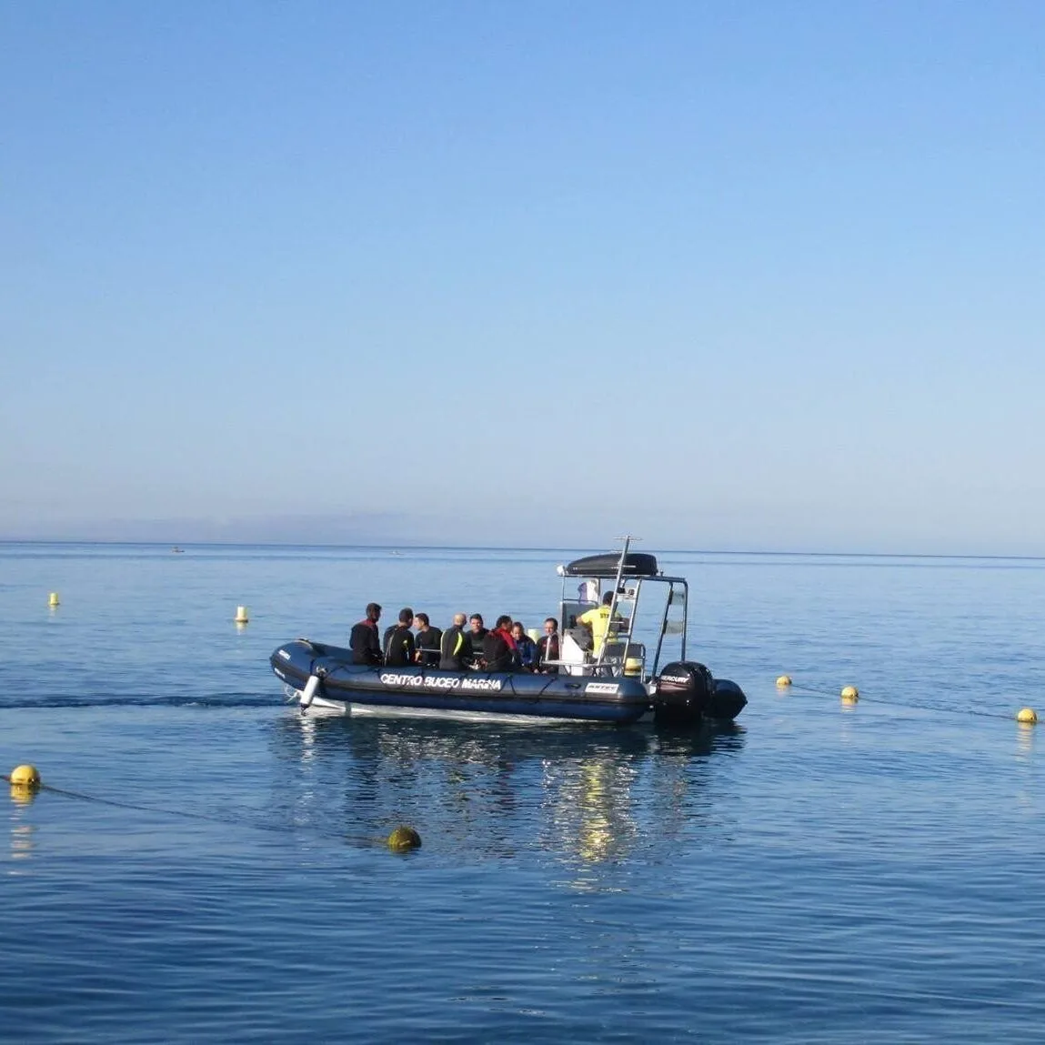
Approaching the site requires a boat trip from Marina del Este, and you should be prepared for a direct entry or a drift recovery. Because the site is exposed, the surface conditions can change, affecting how easy it is to locate the divers upon ascent. The absence of a permanent descent line means that group coordination and depth control are vital from the moment you enter the water. Planning your dive with a clear understanding of the current and the topography is essential for a safe and productive exploration of these deep pinnacles.
The site reaches depths between 10 and 36 metres. An Advanced Open Water certification is required, and divers should have significant experience managing currents and depth due to the site's exposure to the open sea. Current is variable and can be influenced by Mediterranean currents and weather conditions.
Piedras Atlas requires an Advanced Open Water certification. You should also have significant experience managing currents and depth, as the site is exposed to the open sea. Navigating its pinnacles, steep walls, caves, and crevices requires careful buoyancy control and confidence in open-water conditions during descent, exploration, and ascent.
Piedras Atlas begins at about 10 metres, with the formations descending steadily to approximately 36 metres at their bases. The profile moves from shallow pinnacles into mid-depth terrain and then deeper vertical faces. At around 28 metres, the rocks are heavily covered by Astroides calycularis colonies in darker, lower-light surroundings.
Piedras Atlas is exposed to Mediterranean currents and open-sea weather, so water movement can vary from calm to stronger conditions. Dives are often conducted as drifts, with the boat following divers. There is no permanent mooring or descent line, making group coordination, position management, and controlled ascent important.
At Piedras Atlas, you can explore large pinnacles, steep walls, caves, and deep crevices while looking for dentex, barracuda, tuna, amberjack, groupers, and moray eels. Octopus, cuttlefish, scorpionfish, lobsters, nudibranchs, hermit crabs, and sea snails inhabit the rocks, with Astroides calycularis colonies covering deeper surfaces.